


Why “geospatial”? Well essentially because Geographic Information Science enables you to make better informed decisions. It can do this by making it easier to consider many more criteria in the analysis of a situation (by virtue of their location) and then presenting results in an intuitive and visual way which is easy to understand and share. Improved decision making means better business performance, faster response times, greater accountability, operational cost savings and safety improvements, and might just keep you out of the media!
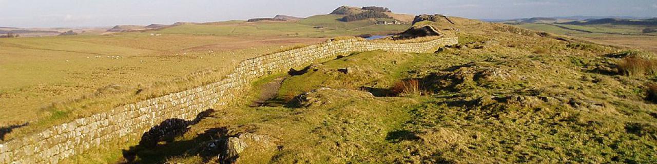
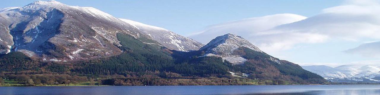
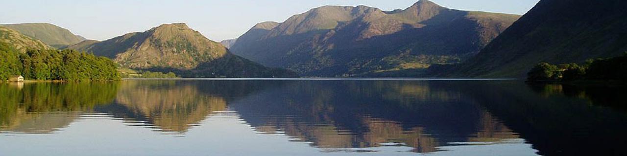
Geographic information is literally everywhere – it describes any set of information which relates to something somewhere. In actual fact almost all information pertains to a place on the Earth, examples include the location of a pipeline, building, ambulance, crime incident, occurrence of foot and mouth disease, hours of sunshine, average income, level of sales, planning zone, flood plain, voter turnout, etc., etc. Some physical features obviously have geographic position such as a river or telephone box; other phenomena can be related to an administrative area such as a postcode area, local government area, health authority area, sales territory, or emergency response catchment. Because so much information has an association to a place on the Earth it is possible to relate many types of information together in order to better understand a situation, manage an incident, or to improve forecasting.
Geographic information has typically been represented on maps, charts and plans. It is complex from an IT perspective and hence computing technologies have struggled to deal with the management of geographic location and geographic relationships, and thus Geographic Information Systems (GIS) developed as a specialist domain. Improvements in computing power, geographic data and the integration of computing systems are, however, resulting in increased access to geographic computing capabilities. Public awareness of the benefits of geographic information can be witnessed through the rapid uptake of tools such as Multimap, Google Maps, Google Earth, Yahoo Maps, Microsoft Virtual Earth, and in car satellite navigation.
Geographic Information Science is large subject that touches many topics, business areas and computing disciplines. The ESRI GIS Book Store illustrates the breadth of the subject area and the University of Melbourne provides an excellent introduction to the topic at: http://www.geogra.uah.es/patxi/gisweb/GISModule/GISTheory.pdf
For a personal view on the subject from newcomer, see our article on "What Does GIS Mean to Me?"
We provide a complete range of services to help organisations understand the relevance of geospatial data and capabilities to their business.